
On 6 Aug 1889, Smith Bridges sold 80 of his 106.5 acres along Cedar Creek to Judge Wesley Phelps. This was part of Jacob Yenawine's old mill farm tract.
Bullitt County Deed Book 28, Pages 346-347
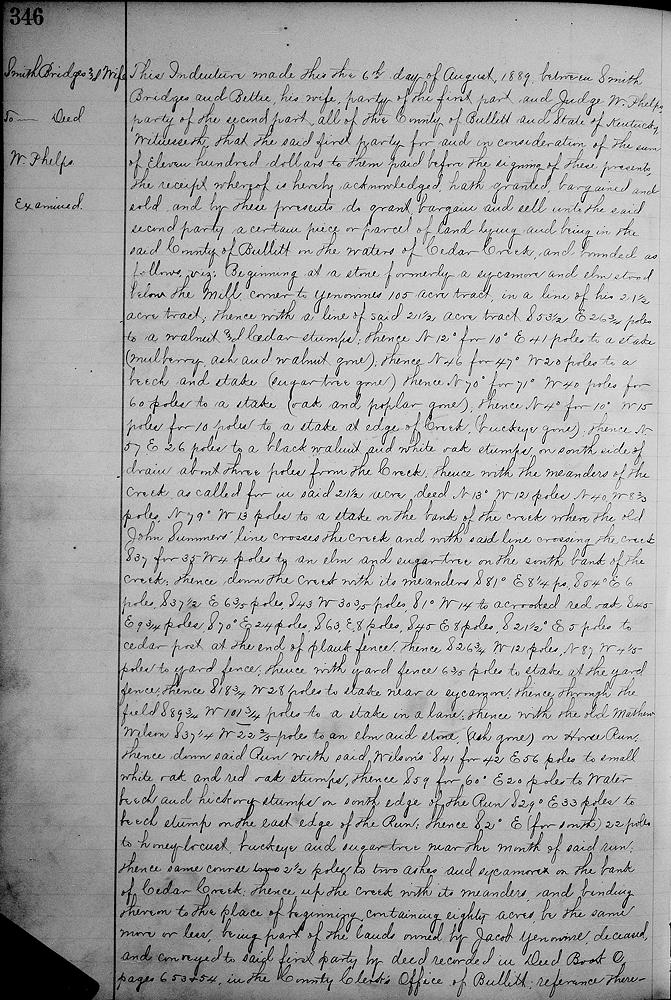
This indenture made this the 6th day of August, 1889, between Smith Bridges and Bettie, his wife, party of the first part, and Judge W. Phelps, party of the second part, all of the county of Bullitt and state of Kentucky.
Witnesseth that the said first party for and in consideration of the sum of eleven hundred dollars to them paid before the signing of these presents, the receipt whereof is hereby acknowledged, hath granted, bargained and sold, and by these presents do grant, bargain and sell unto the said second party a certain piece or parcel of land lying and being in the said county of Bullitt on the waters of Cedar Creek, and bounded as follows, viz.
Beginning at a stone, formerly a sycamore and elm stood below the mill, corner to Yenawine's 105 acre tract, in a line of 21 1/2 acre tract, thence with a line of said 21 1/2 acre tract S 53 1/2° E 26 3/4 poles to a walnut and cedar stumps, thence N 12° for 10° E 41 poles to a stake, (mulberry, ash and walnut gone), thence N 46° for 47° W 20 poles to a beech and stake, (sugar tree gone), thence N 70° for 71° W 40 poles for 60 poles to a stake, (oak and poplar gone), thence N 4° for 10° W 15 poles for 10 poles to a stake at the edge of creek, (buckeye gone), thence N 57° E 26 poles to a black walnut and white oak stumps on the south side of drain about three poles from the creek, thence with the meanders of the creek as called for in said 21 1/2 acre deed, N 13° W 12 poles, N 40° W 8 2/3 poles, N 79° W 13 poles to a stake on the bank of the creek where the old John Summers' line crosses the creek and with said line crossing the creek S 37° for 35° W 4 poles to an elm and sugar tree on the south bank of the creek, thence down the creek with its meanders S 81° E 8 1/4 poles, S 54° E 6 poles, S 37 1/2° E 6 3/5 poles, S 43° W 30 3/5 poles, S 1° W 14 poles to a crooked red oak, S 45° E 9 3/4 poles, S 70° E 24 poles, S 63° E 8 poles, S 45° E 8 poles, S 21 1/2° E 5 poles to cedar post at the end of a plank fence, thence S 26 3/4° W 12 poles, N 87° W 4 1/5 poles to yard fence, thence with yard fence 6 3/5 poles to stake at the yard fence, thence S 18 3/4° W 28 poles to stake near a sycamore, thence through the field S 89 3/4° W 101 3/4 poles to a stake in a lane, thence with the old Mathew Wilson line S 37 1/2° W 22 2/5 poles to an elm and stone, (ash gone), on Horse Run, thence down said run with said Wilson's line S 41° for 42° E 56 poles to a small white oak and red oak stumps, thence S 59° for 60° E 20 poles to water beech and poplar stumps on the south edge of the Run, S 29° E 33 poles to beech stump on the east edge of the Run, thence S 2° E (for South) 22 poles to honey locust, buckeye and sugar tree near the mouth of said run, thence same course 2 1/2 poles to two ashes and sycamore on the bank of Cedar Creek, thence up the creek with its meanders and binding thereon to the place of beginning, containing 80 acres, be the same more or less, being part of the lands owned by Jacob Yenawine, deceased, and conveyed to said first party by deed recorded in Deed Book O, pages 653 and 654 in the County Clerk's office of Bullitt, reference there unto the same will appear.
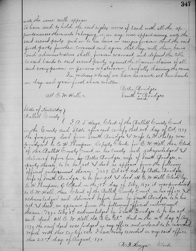
To have and to hold the said eighty acres of land with all the appurtenances thereunto belonging, or in any wise appertaining unto the said second party and or to his heirs or assigns forever. And the said first party further covenant and agree that they will, their heirs and administrators shall forever warrant and defend the title to said lands to said second party against the claim or claims of all and every person or persons whatsoever lawfully claiming the same. In witness whereof we have hereunto set our hands on day and year first above written.
(signed) Bettie Bridges, Smith (his x mark) Bridges. Att. E. W. Hall.
If you, the reader, have an interest in any particular part of our county history, and wish to contribute to this effort, use the form on our Contact Us page to send us your comments about this, or any Bullitt County History page. We welcome your comments and suggestions. If you feel that we have misspoken at any point, please feel free to point this out to us.
The Bullitt County History Museum, a service of the Bullitt County Genealogical Society, is located in the county courthouse at 300 South Buckman Street (Highway 61) in Shepherdsville, Kentucky. The museum, along with its research room, is open 10 a.m. to 4 p.m. Monday through Friday. Saturday appointments are available by calling 502-921-0161 during our regular weekday hours. Admission is free. The museum, as part of the Bullitt County Genealogical Society, is a 501(c)3 tax exempt organization and is classified as a 509(a)2 public charity. Contributions and bequests are deductible under section 2055, 2106, or 2522 of the Internal Revenue Code. Page last modified: 12 Sep 2024 . Page URL: bullittcountyhistory.org/bchistory/bridges-phelps-80.html