
A 6000 acre survey in the name of Ebenezer Platt taken in 1784 was assigned to John Lawrence who obtained a deed to the land in 1786. Edward Lawrence, who became the executor for John Lawrence, neglected to pay property tax on the land and it was auctioned off in parts as described in the deed below. When all was done, Samuel Allison became the owner of all but 500 acres that lay along the west side of the tract. Allison later sold the land to Benjamin Doom.
Bullitt County Deed Book F, Pages 365-367
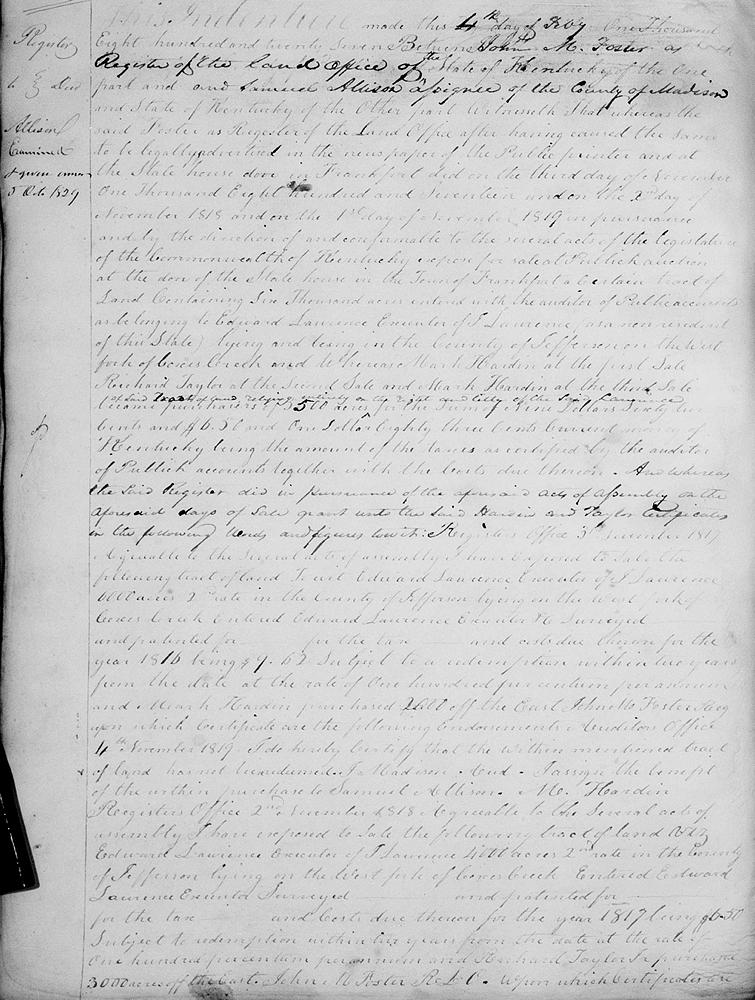
This indenture made this 4th day of February 1827 between John M. Foster as register of the land office of the state of Kentucky of the one part and Samuel Allison of the county of Madison and state of Kentucky of the other part. Witnesseth that whereas the said Foster as register of the land office after having caused the same to be legally advertised in the newspaper of the public printer and at the state house door in Frankfort did on the third day of November 1817, and on the second day of November 1818, and on the first day of November 1819 in pursuance and by the direction of and conformable to the several acts of the legislature of the Commonwealth of Kentucky expose for sale at public auction at the door of the state house in the town of Frankfort, a certain tract of land containing 6000 acres entered with the auditor of public accounts as belonging to Edward Lawrence, executor of John Lawrence as a non resident of this state, lying and being in the county of Jefferson on the West Fork of Cox's Creek, and whereas Mark Hardin at the first sale, Richard Taylor at the second sale, and Mark Hardin at the third sale of said tract of land became purchasers of 5500 acres of land relying entirely on the right and title of the said Lawrence for the sum of $9.62 and $6.50 and $1.83 current money of Kentucky, being the amount of the taxes as certified by the auditor of public accounts, together with the costs due thereon, as whereas the said register did in pursuance of the aforesaid acts of assembly on the aforesaid days of sale grant unto the said Hardin and Taylor certificates in the following words and figures, to wit.
Register's Office, 3rd November 1817. Agreeable to the several acts of assembly I have exposed to sale the following tract of land, to wit Edward Lawrence, executor of J. Lawrence, 6000 acres 2nd rate in the county of Jefferson, lying on the West Fork of Cox's Creek, entered Edward Lawrence, executor &c, surveyed __ and patented for __ for the tax __ and costs due thereon for the year 1816 being $9.62 subject to a redemption within two years from the date at the rate of 100% per annum, and Mark Hardin purchased 2000 off the east. John Foster, register.
Upon which certificate are the following endorsements.
Auditor's Office, 11th November 1819. I do hereby certify that the within mentioned tract of land had not been redeemed. J. Madison, Auditor.
I assign the benefit of the within purchase to Samuel Allison. M. Hardin
Register's Office, 2nd November 1818. Agreeable to the several acts of assembly, I have exposed to sale the following tract of land viz. Edward Lawrence executor of J. Lawrence, 4000 acres 2nd rate in the county of Jefferson, lying on the West Fork of Cox's Creek. Entered Edward Lawrence executor, surveyed __ and patented for __ for the tax __ and costs due thereon for the year 1817, being $6.50 subject to redemption within two years from the date at the rate of 100% per annum, and Richard Taylor purchased 3000 acres off the east. John M. Foster, R.L.C.
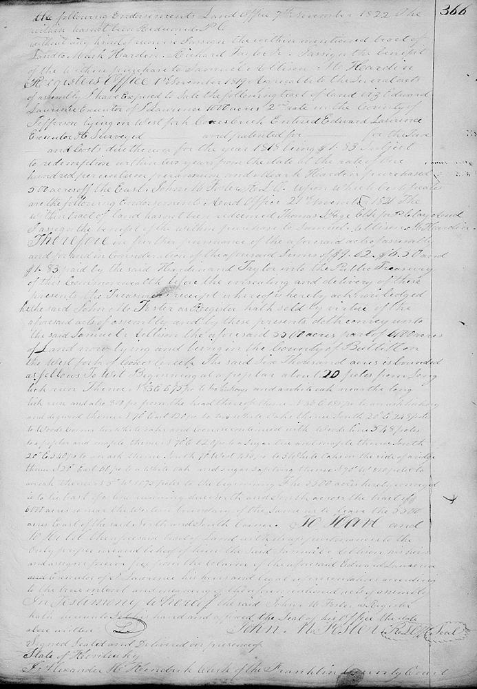
Upon which certificate the following endorsements: Land Office, 7th November 1822. The within has not been redeemed. P.C.
Without any kind of recourse I assign the within mentioned tract of land to Mark Hardin, Richard Taylor.
I assign the benefit of the within purchase to Samuel Allison. M. Hardin.
Register's Office, 1st November 1819. Agreeable to the several acts of assembly I have exposed to sale the following tract of land viz. Edward Lawrence, executor of J. Lawrence 1000 acres 2nd rate in the county of Jefferson, lying on West Fork of Cox's Creek. Entered Edward Lawrence, executor &c, surveyed __ and patented for __ for the taxes __ and costs due thereon for the year 1818, being $1.83 subject to redemption within two years from the date of at the rate of 100% per annum, and Mark Hardin purchased 500 acres off the east. John M. Foster. R.L.O.
Upon which certificate are the following endorsements.
Auditor Office, 21st November 1821. The within tract of land has not been redeemed. Thomas L. Page, clerk for P.C. Lay, auditor.
I assign the benefit of the within purchase to Samuel Allison. M. Hardin.
Therefore in further pursuance of he aforesaid acts of assembly and for and in consideration of the aforesaid sums of $9.62, $6.50 and $1.83 paid by the said Hardin and Taylor into the public treasury of this Commonwealth before the unsealing and delivery of thse presents, the Treasurer's receipt whereof is hereby acknowledged, the said John M. Foster as register hath sold by virtue of the aforesaid acts of assembly and by these presents doth convey unto the said Samuel Allison the aforesaid 5500 acres, part of 6000 acres of land and now lying and being in the county of Bullitt on the West Fork of Cox's Creek.
The said 6000 acres is bounded as follows, to wit.
Beginning at a poplar about 20 poles from Long Lick Run, thence N 83° E 675 poles to two hickories and white oak near the Long Lick Run and about 800 (100?) poles from the head thereof, thence N 30° E 135 poles to an ash, hickory and dogwood, thence N 70° E 120 poles to two white oaks, thence S 20° E 248 poles to Wood's corner, two white oaks, course continue with Wood's line 548 poles to a poplar and maple, thence N 70° E 120 poles to a sugar tree and maple, thence S 20° E 340 poles to an ash, thence S 70° W 420 poles to three white oaks on the side of a ridge, thence S 20° E 60 poles to a white oak and sugar sapling, thence S 70° W 810 poles to an oak, thence N 5° W 1075 poles to the beginning.
The 5500 acres hereby conveyed is to lie east of a line running due North and South across the tract of 6000 acres so near the western boundary of the same as to leave the 5500 acres east of the said north and south corners.
To have and to hold the aforesaid tract of land with its appurtenances to the only proper use and behoof of him the said Samuel Allison, his heirs and assigns forever, free from the claim of the aforesaid Edward Lawrence, and executor of J. Lawrence, his heirs and legal representatives according to the true intent and meaning of the afore mentioned acts of assembly.
In testimony whereof the said John M. Foster as register hath hereunto set his hand and affixed the seal of his office the date above written. (signed) John M. Foster
If you, the reader, have an interest in any particular part of our county history, and wish to contribute to this effort, use the form on our Contact Us page to send us your comments about this, or any Bullitt County History page. We welcome your comments and suggestions. If you feel that we have misspoken at any point, please feel free to point this out to us.
The Bullitt County History Museum, a service of the Bullitt County Genealogical Society, is located in the county courthouse at 300 South Buckman Street (Highway 61) in Shepherdsville, Kentucky. The museum, along with its research room, is open 10 a.m. to 4 p.m. Monday through Friday. Saturday appointments are available by calling 502-921-0161 during our regular weekday hours. Admission is free. The museum, as part of the Bullitt County Genealogical Society, is a 501(c)3 tax exempt organization and is classified as a 509(a)2 public charity. Contributions and bequests are deductible under section 2055, 2106, or 2522 of the Internal Revenue Code. Page last modified: 12 Sep 2024 . Page URL: bullittcountyhistory.org/bchistory/samuel-allison5500.html