
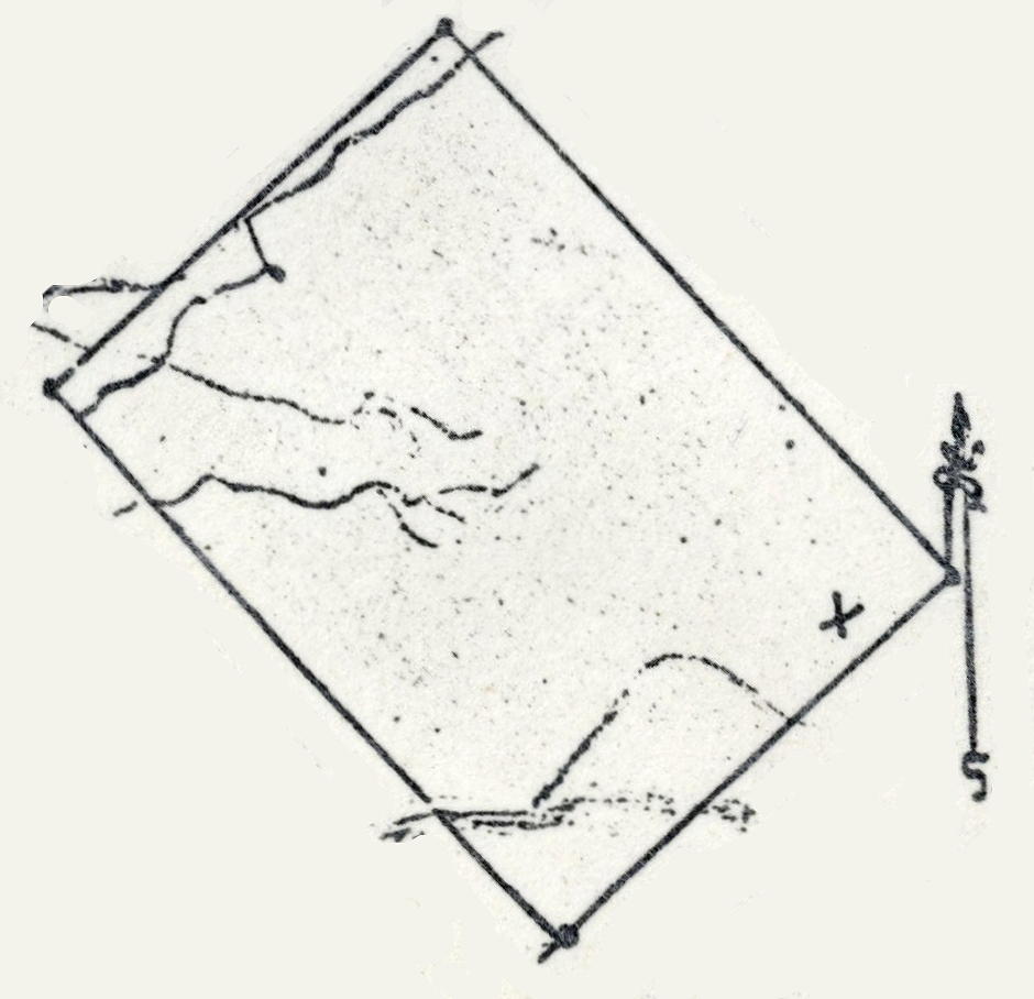
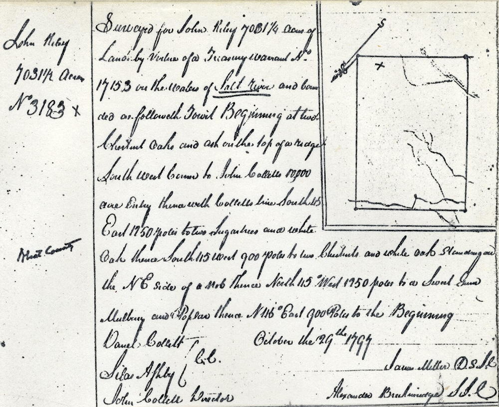
On 29 Oct 1797 James Miller surveyed 7031.25 acres for John Riley who received his deed to the land on 25 May 1799. Here is a rotated version of the plat drawing. Then in 1802 Riley sold half of the land to John Collett.
Survey
Surveyed for John Riley 7031 1/4 acres of land by virtue of a treasury warrant No. 17153 on the waters of Salt River and bounded as followeth, to wit. Beginning at two chestnut oaks and ash on the top of a ridge, southwest corner to John Collett's 10,000 acre entry, thence with Collett's line South 45° East 1250 poles to two sugartrees and white oak, thence South 45° West 900 poles to two chestnuts and white oaks standing on the northeast side of a knob, thence North 45° West 1250 poles to a sweet gum, mulberry and poplar, thence North 45° East 900 poles to the beginning
October the 29th 1797
Daniel Collett & Silas Ashby, chain carriers
John Collett, director
James Miller, surveyor
Deed
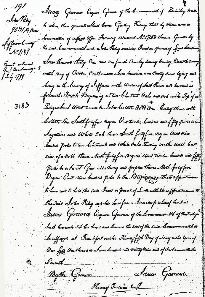
James Garrard Esquire, Governor of the Commonwealth of Kentucky, to all to whom these presents shall come, Greeting. Know ye that by virtue and in consideration of a Land Office Treasury Warrant No. 17153 there is granted by the said Commonwealth unto John Riley a certain tract or parcel of land containing seven thousand thirty one and one fourth acres by survey bearing date the twenty-ninth day of October, one thousand seven hundred and ninety-seven lying and being in the County of Jefferson on the waters of Salt River and bounded as followeth, to wit.
Beginning at two chestnut oaks and ash on the top of a ridge, southwest corner to John Collett's 10,000 acre entry, thence with Collett's line South 45° East 1250 poles to two sugartrees and white oak, thence South 45° West 900 poles to two chestnuts and white oaks standing on the northeast side of a knob, thence North 45° West 1250 poles to a sweet gum, mulberry and poplar, thence North 45° East 900 poles to the beginning with its appurtenances to the said John Riley and his heirs forever.
In witness whereof the said James Garrard Esquire, Governor of the Commonwealth of Kentucky, hath hereunto set his hand and caused the seal of the said Commonwealth to be affixed at Frankfort on the twenty-fifth day of May in the year of our Lord one thousand seven hundred and ninety-nine and of the Commonwealth the Seventh. (signed) James Garrard
If you, the reader, have an interest in any particular part of our county history, and wish to contribute to this effort, use the form on our Contact Us page to send us your comments about this, or any Bullitt County History page. We welcome your comments and suggestions. If you feel that we have misspoken at any point, please feel free to point this out to us.
The Bullitt County History Museum, a service of the Bullitt County Genealogical Society, is located in the county courthouse at 300 South Buckman Street (Highway 61) in Shepherdsville, Kentucky. The museum, along with its research room, is open 10 a.m. to 4 p.m. Monday through Friday. Saturday appointments are available by calling 502-921-0161 during our regular weekday hours. Admission is free. The museum, as part of the Bullitt County Genealogical Society, is a 501(c)3 tax exempt organization and is classified as a 509(a)2 public charity. Contributions and bequests are deductible under section 2055, 2106, or 2522 of the Internal Revenue Code. Page last modified: 12 Sep 2024 . Page URL: bullittcountyhistory.org/bchistory/ok0059-hern.html